The Magellan Meridian Gold with Map Send Software
WARNING: DO NOT DO BUSINESS WITH THIS COMPANY!
The drawbacks on this unit is that Magellan company and website are difficult to use and in some cases no help at all. This unit only works with the Magellan Map Send software which is in some cases highly inaccurate and not user friendly at all. Neither is their website. The update for this software is they still sell the software but it won't work. It keeps asking to put the disk in the computer even when the disk is in it. I wrote asking for help and they said "we no longer support that software but will give you a discount on a new GPS." I wrote back and said "I have a GPS in my phone thanks, but you shouldn't sell the software if you don't support it!" They bounced my message back to me as if they hadn't seen it when I know they did.
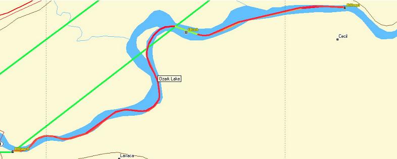
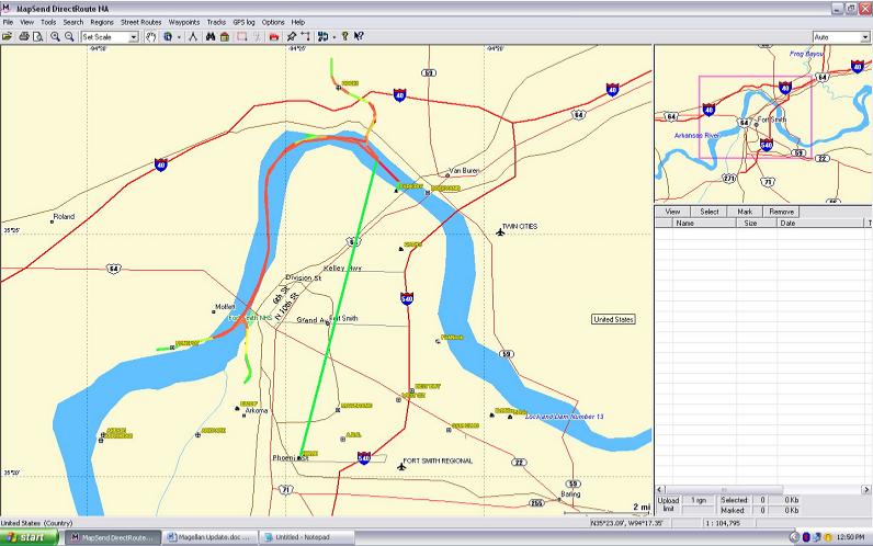
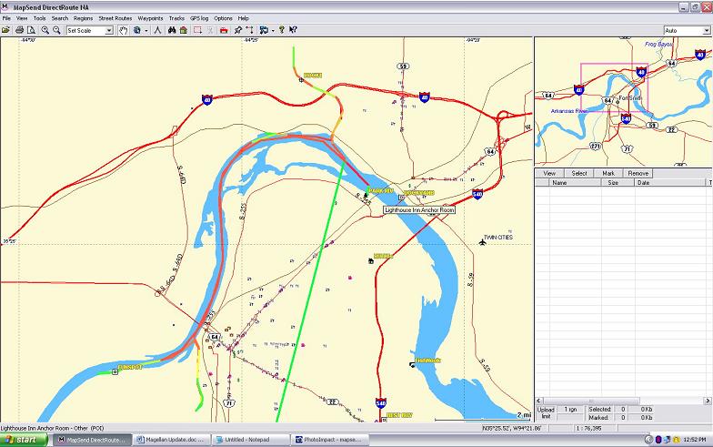
Please check the maps on this page and compare them with the maps from DeLorme on this site.
Update: 8-10-13
This company makes shoddy non-functional software, continues to sell it even though they don't support it.
I'm changing the status of this company and their products from "I do not recommend it!" to "Avoid at all cost."