The Magellan Meridian Gold with Map Send Software
This is a nice hand held GPS unit. Somewhat water proof. Somewhat easy to use.
The drawbacks on this unit is that Magellan company and website are difficult to use and in some cases no help at all. This unit only works with the Magellan Map Send software which is in some cases highly inaccurate and not user friendly at all. Neither is their website. When you call the support phone number you will be lucky to find someone who speaks clear enough English to be able to understand. The last time I called the guy on the other end didn't even know where or how to find the S/N for the software in the software. You must have the S/N before you can even send a message to them asking for help! GOOD LUCK WITH THIS ONE!
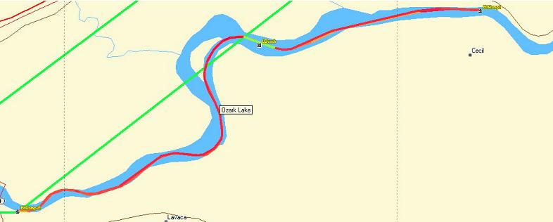
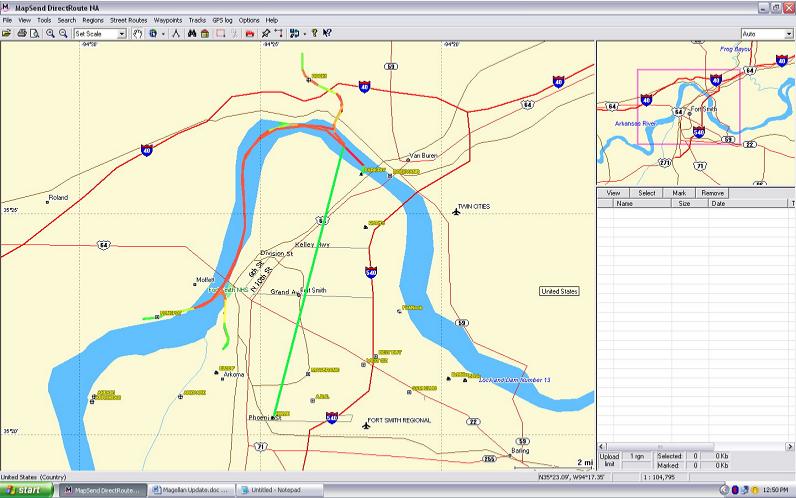
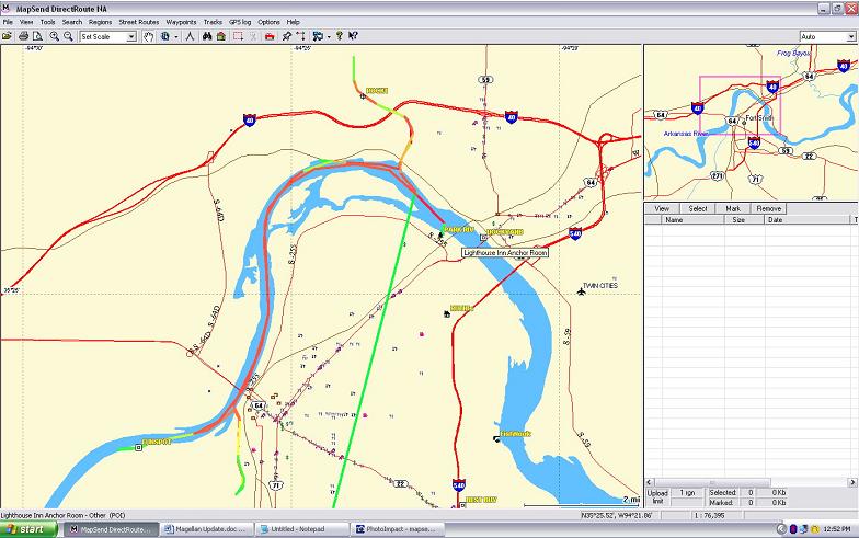
Please check the maps on this page and compare them with the maps from DeLorme on this site.
Update: 8-10-13
Thinking to update my unit I ran the software but as I said will not run without the disk and I couldn't find it. I bought a new one from their website installed the software on my new laptop and it kept asking for the disk, which was in the unit because I just installed it. It would not run so I sent a message to the Meridian company got a response telling me they no longer support that software. I sent a message back telling them if they make crap software and no longer support it they should stop selling it. Their response to me was to bounce my message back pretending they hadn't seen it.
I'm changing the status of this company and their products from "I do not recommend it!" to "Avoid at all cost."